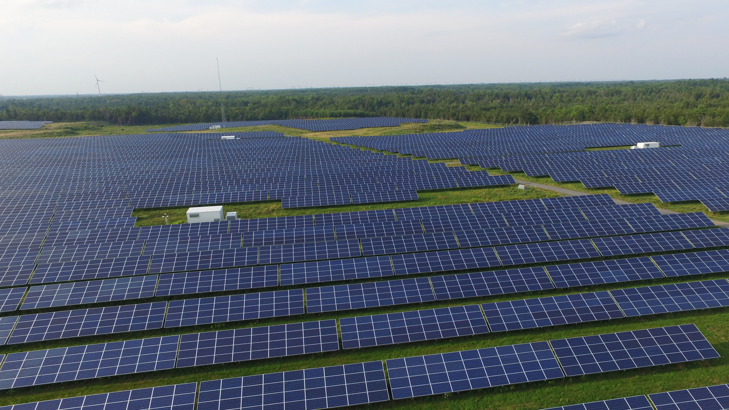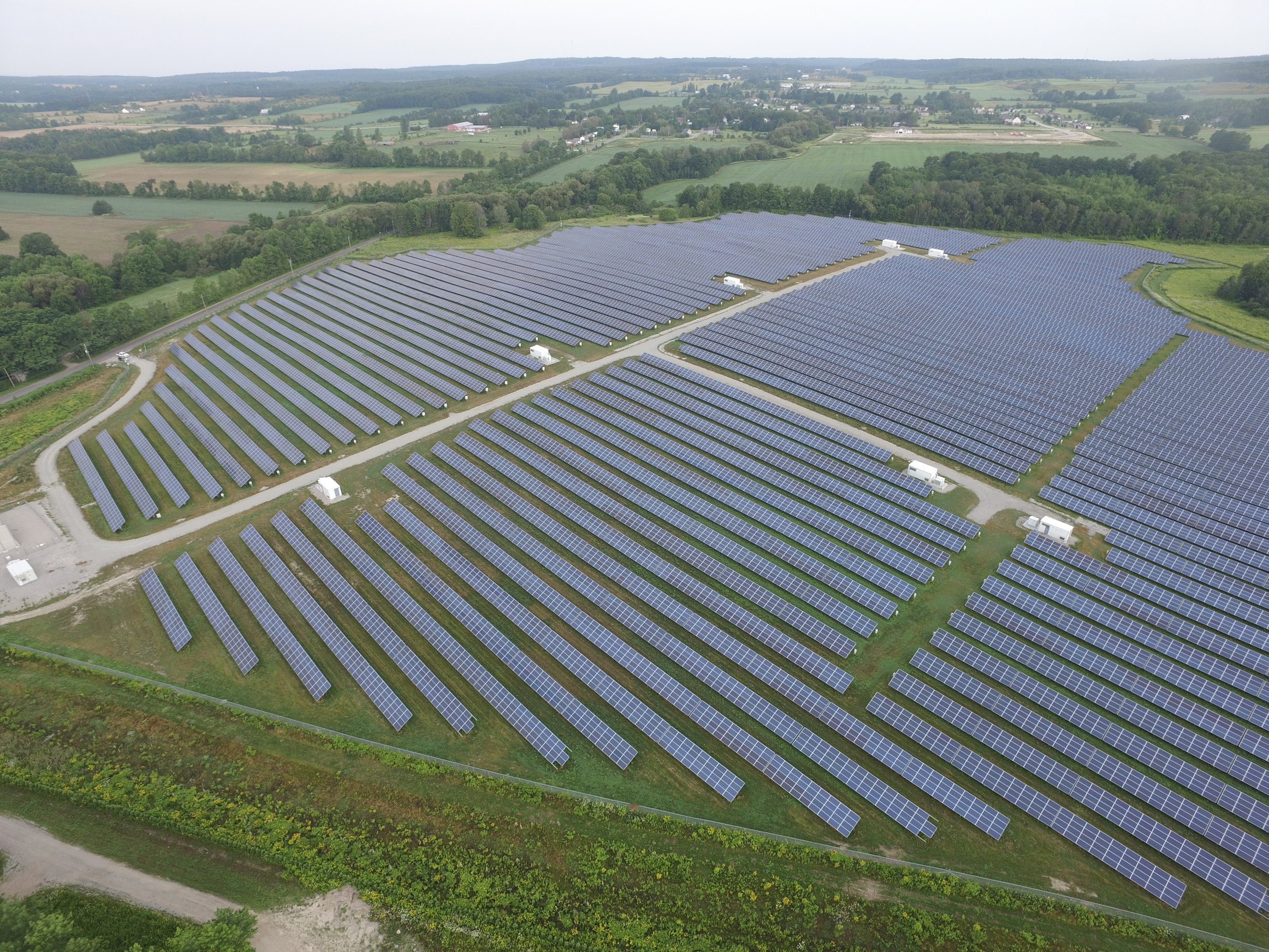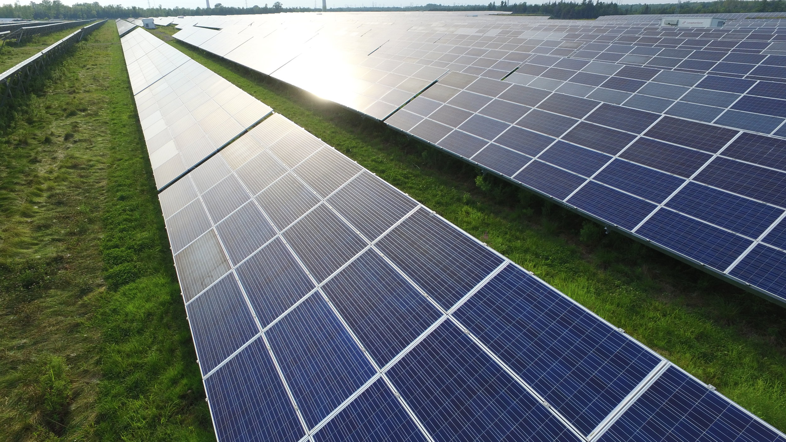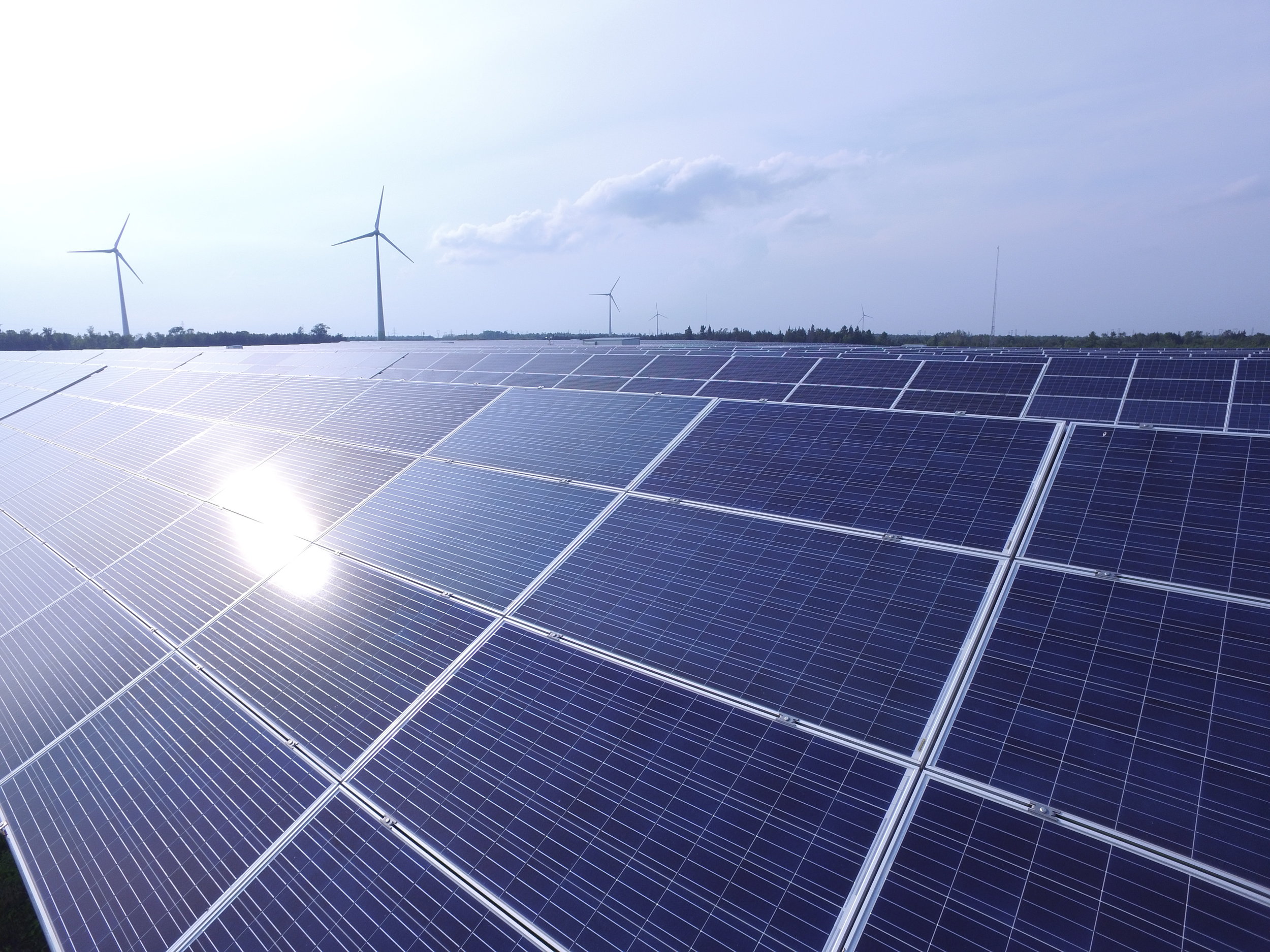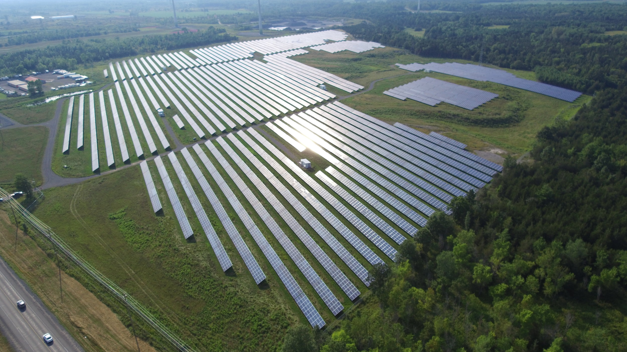
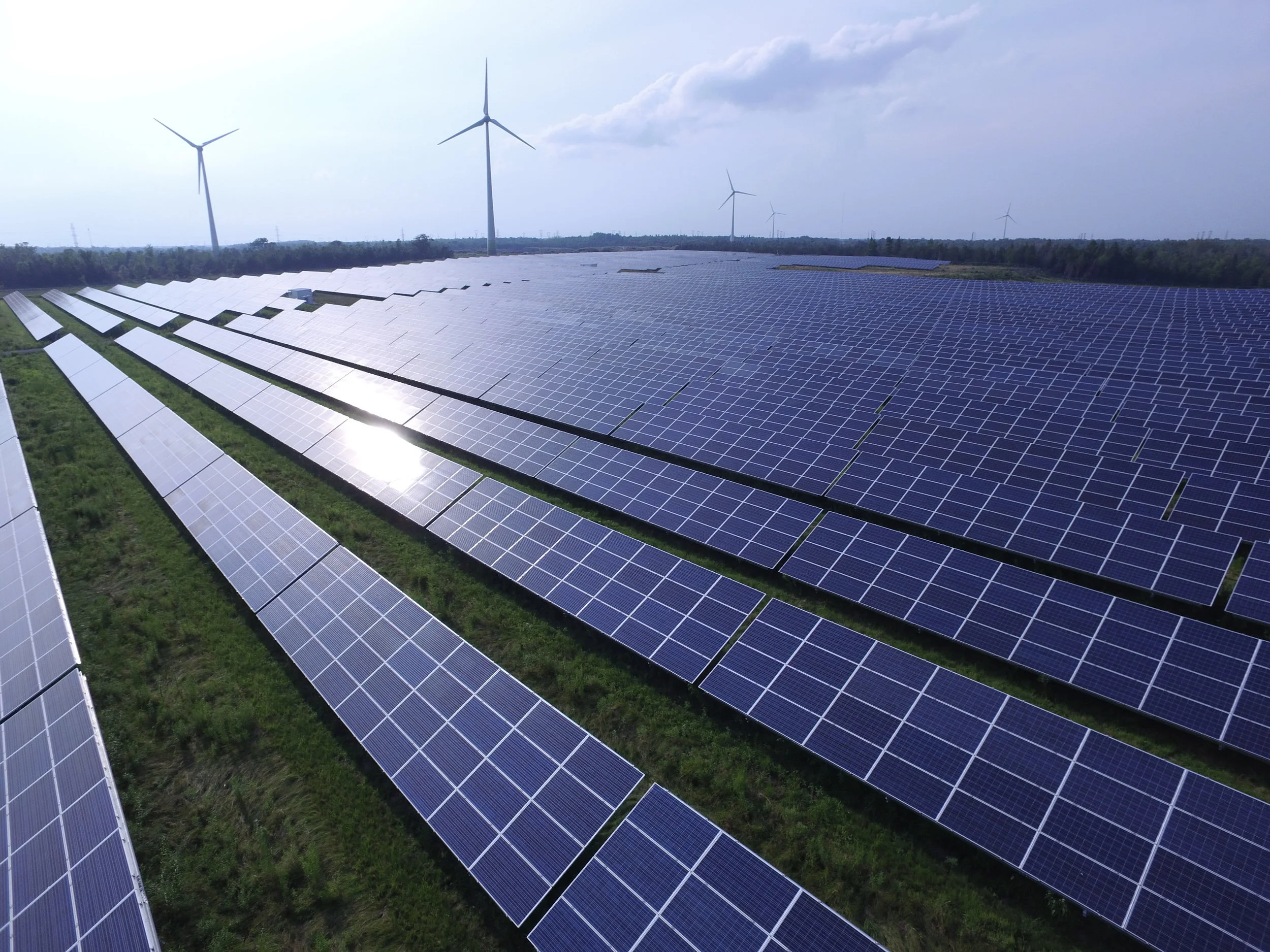
Ground Mount Surveys
Our nation-wide team is experienced in surveying for large scale ground mount projects. Using aerial drone photography and GPS point mapping, we cover a lot of ground quickly, providing pile stakeouts and extremely accurate topographical surveys for commercial and utility-scale projects.
If you have any questions, feel free to contact us.
Surveys Include:
aerial drone photography & GPS DATA POINTS
PILE STAKEOUTS
topographical surveyinG
thermal imaging (o&M)

TOPOGRAPHICAL SURVEY

THERMAL IMAGING
Explore our other services
DESIGN | STRUCTURAL ENGINEERING | ELECTRICAL ENGINEERING | PE STAMPING
Gallery